Sponsor: NOAA
URL: http://www.ncdc.noaa.gov/wct/
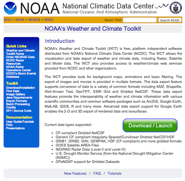
Summary: NOAA’s Weather and Climate Toolkit (WCT) is free, platform independent software distributed from NOAA’s National Climatic Data Center (NCDC). The WCT allows the visualization and data export of weather and climate data, including Radar, Satellite and Model data.
How it works: The WCT provides tools for background maps, animations and basic filtering. The export of images and movies is provided in multiple formats. The data export feature supports conversion of data to a variety of common formats including KMZ, Shapefile, Well-Known Text, GeoTIFF, ESRI Grid and Gridded NetCDF.
Application: The Weather and Climate Toolkit offers access to traditionally hard-to-use weather data in an accessible, visual format. If you’re someone with NOAA data but don’t know how to process it into something usable, the Weather and Climate Toolkit is a great first step to getting that data into a workable format. Likewise, if you have NOAA data and want to get it into a format you’re already familiar with, the toolkit quickly allows you to do that.
Preview:
